Satellite imagery reveals Gaza barrier as Israeli politicians debate settlements
Recent visual evidence confirms the construction of a substantial earthen barrier dividing Gaza, while political figures in Israel advance discussions regarding the establishment of new settlements.
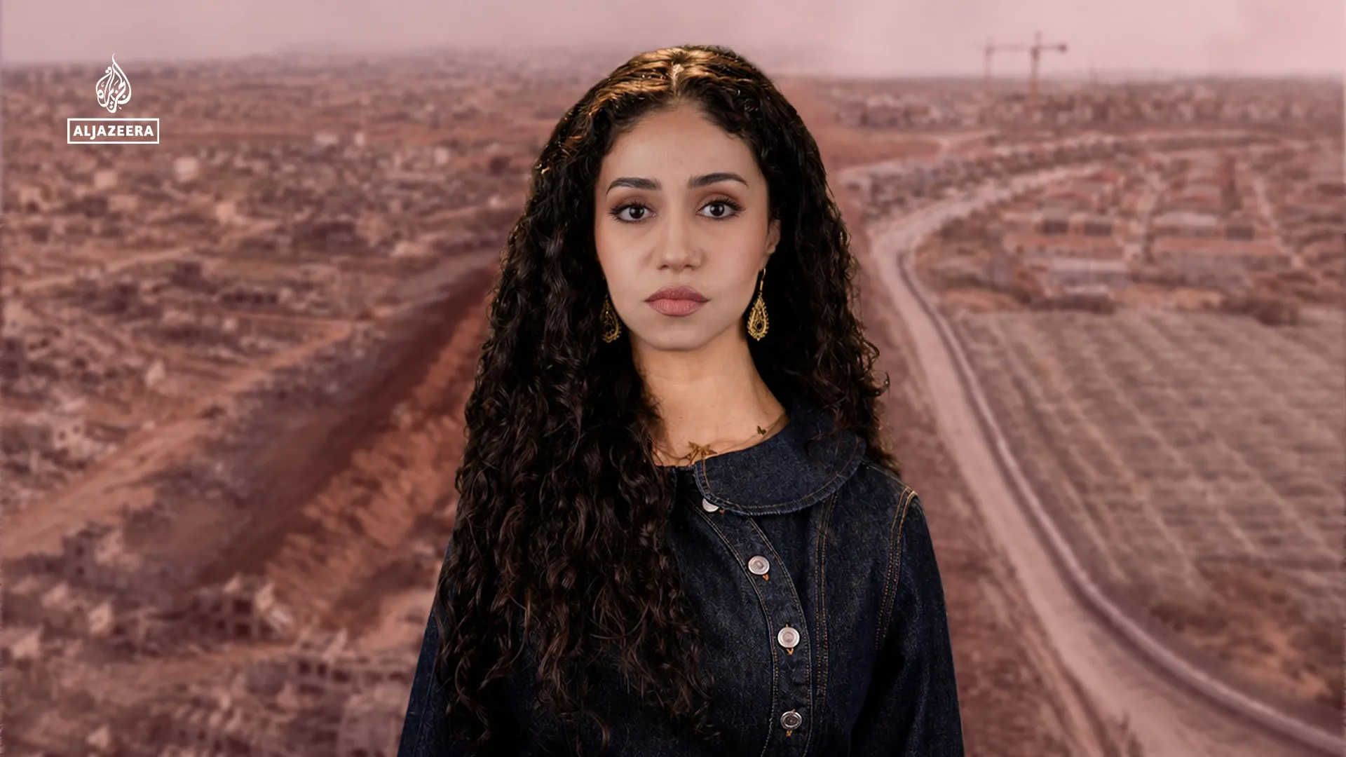
Recent satellite imagery has provided visual confirmation of significant earthworks within Gaza, showing the construction of a large earthen barrier that appears to be dividing the territory. The images, reported by Al Jazeera Global News, highlight the physical progress of this infrastructure project, which is described as a substantial earth-moving operation.
Concurrently, political activity in Israel is focused on the topic of settlement expansion. Politicians are currently engaged in discussions regarding the establishment of settlements, marking a period of active political discourse surrounding land use and governance in the region.
The source material does not specify the exact dimensions, strategic purpose, or precise location of the earthen barrier beyond its role in dividing Gaza. Similarly, the nature of the political discussions remains general, with no specific legislative proposals, cabinet decisions, or official government announcements cited in the available reporting.
There is no information provided regarding the timeline for the completion of the barrier or the implementation of any settlement plans. The reports indicate that these developments are occurring in the recent period, but specific dates for construction milestones or political outcomes are not detailed.
The available context distinguishes between the physical construction of the barrier and the ongoing political rhetoric regarding settlements. While both events are reported as occurring simultaneously, the source material does not establish a direct causal link between the infrastructure work and the political debates.