NASA and USGS scientists verify critical mineral indicators in California’s Mojave Desert
A joint mission led by the USGS and NASA’s Jet Propulsion Laboratory has confirmed the presence of topaz in the Mojave Desert, a key geological indicator for valuable copper, molybdenum, and tellurium deposits.
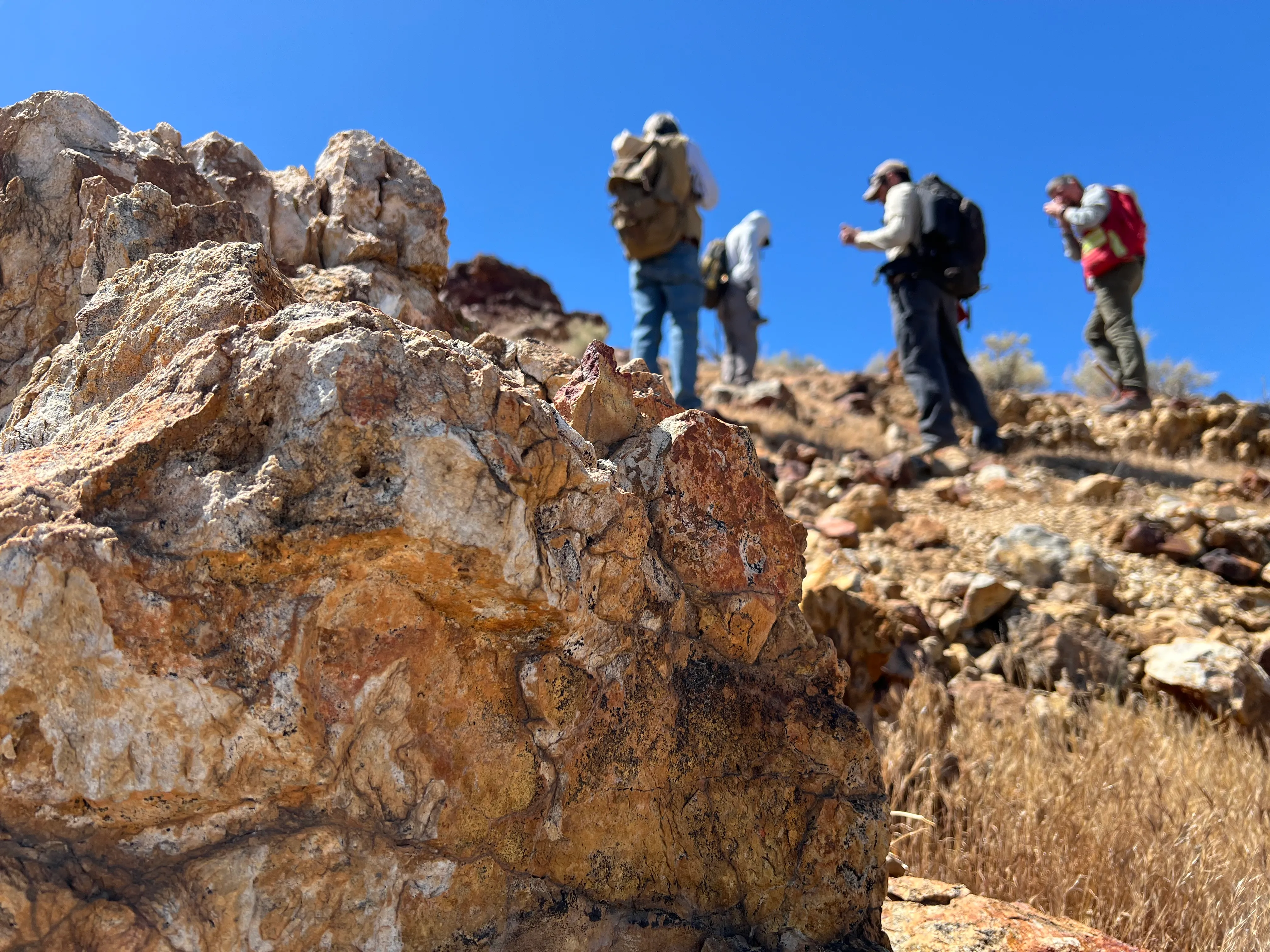
A team of geoscientists from the USGS and NASA’s Jet Propulsion Laboratory (JPL) recently deployed to the Mojave Desert near Barstow, California, to conduct ground-truthing of data collected by the AVIRIS-5 airborne sensor. The mission, part of the NASA-USGS Geologic Earth Mapping Experiment (GEMx), focused on verifying the presence of topaz, a mineral that serves as a reliable indicator for underlying porphyry copper deposits. These deposits are significant sources of copper, molybdenum, and tellurium, minerals essential for steelmaking and solar panel manufacturing.
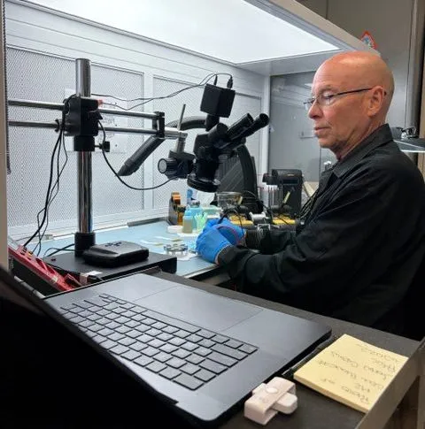
The fieldwork involved three USGS experts and Robert Green from NASA’s JPL, who collected rock samples to confirm the spectral signatures detected from above. Green described the process as geologic investigation, noting that the team was looking for clues to reconstruct the geological history of the area. The target was a cache of topaz identified by the AVIRIS-5 sensor, which uses reflected sunlight to identify minerals by their unique spectral fingerprint. While the presence of topaz has been tested and confirmed, determining if the site overlies a substantial porphyry copper deposit will require further intensive investigation using ground-penetrating equipment.
The AVIRIS-5 sensor, built at JPL, represents the latest iteration of a technology pioneered in the early 1980s. While earlier versions of the sensor have been used to explore the Moon, Mars, and other rocky bodies, the AVIRIS line is now advancing Earth science from aircraft. The latest model recently took to the skies for the first time as part of the GEMx initiative, which is led by the USGS to identify critical mineral sources across the American West, including in the waste rock of active and legacy mines.
The data collection was supported by NASA’s ER-2 high-altitude aircraft, which deployed from NASA’s Armstrong Flight Research Center in Edwards, California, to Colorado Springs Airport in Colorado. This strategic move allowed the aircraft to maximize flight time for data collection in Colorado, Utah, New Mexico, Arizona, and Texas. By the conclusion of the deployment on June 5, the ER-2 had completed 26 flights totaling more than 125 hours, soaring at approximately 65,000 feet to collect broad-area, high-resolution spectral measurements.
In 2025, the ER-2 completed 36 science missions, collecting over 7 billion measurements across 200 flight hours. This effort has contributed to the largest airborne surface mineralogy dataset gathered in a single NASA-USGS campaign. Since 2023, GEMx flights have covered more than 386,000 square miles (1 million square kilometers) of American soil, including most of California. The initiative is part of the USGS Earth Mapping Resources Initiative, a partnership involving 45 state geological surveys, federal agencies, private industry, tribes, and universities to modernise the mapping of the nation’s surface and subsurface resources.
USGS geologist Erik Tharalson noted that while people have been prospecting the Mojave area for generations, the advanced sensing technology helps locate potential deposits that might otherwise remain hidden. The GEMx survey aims to leverage NASA’s spectroscopic imaging technology alongside USGS expertise in dataset analysis and fieldwork to derive critical mineral information. This collaboration highlights the ongoing effort to identify new sources of critical minerals in heavily explored regions of the United States.