UN highlights longstanding distortion in maps of Africa
A report says a widely used map has represented Africa as smaller than its actual size for about 450 years, prompting a change in how the continent is viewed.
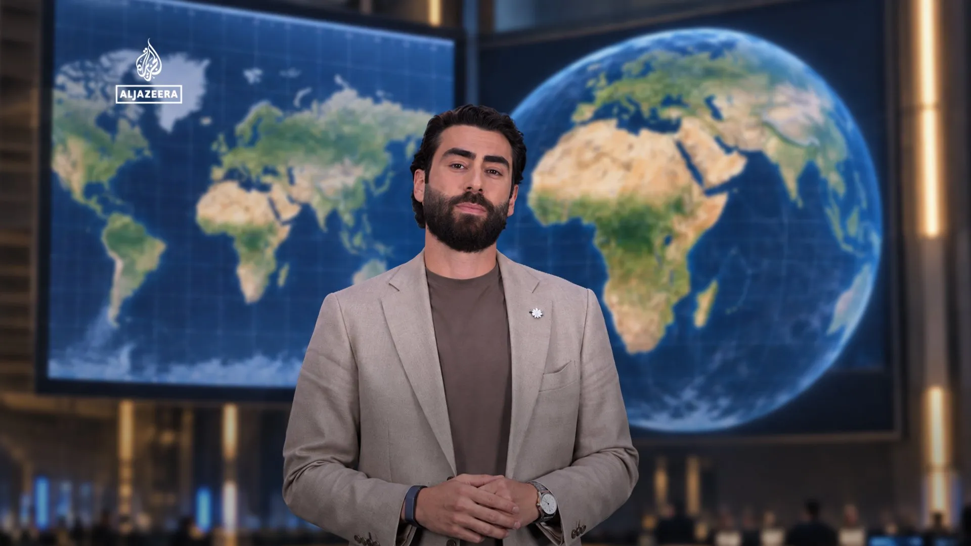
The United Nations has changed how Africa is represented on widely used maps, according to a report by Al Jazeera Global News, drawing attention to a geographic distortion that has persisted for about 450 years.
The map discussed in the report makes Africa appear smaller relative to its actual size. The issue has shaped how the continent is viewed through a map used widely around the world.
The supplied report does not identify the projection involved or explain whether the United Nations formally adopted a replacement map, issued guidance or supported an educational initiative.
The claim concerns a widely used map and does not establish that all maps, or every map used by the United Nations, represent Africa inaccurately. The report was published on 8 September 2026.