Thunderquakes and fiber-optic cables reveal hidden flaws in Earth’s crust
Penn State University researchers have developed a model to decode seismic signals from thunderstorms, using campus fiber-optic cables to map subsurface geological weaknesses without relying on earthquakes or explosives.
A team of scientists at Penn State University has demonstrated that thunderstorms can serve as a viable source of seismic data for imaging the Earth’s subsurface structure. By developing a computational model to interpret the complex signals generated by thunder, known as "thunderquakes," the researchers were able to reconstruct the geological terrain beneath their campus. This approach offers an alternative to traditional seismic imaging methods, which typically rely on natural events such as earthquakes or artificially generated waves from explosives.
The study utilised a four-kilometre fiber-optic cable located on the Penn State campus, which had been designated for seismic sensing. Over a two-year period, the team recorded data from 458 well-resolved thunderquakes. Each event was cross-referenced with records from the National Lightning Detection Network to ensure accuracy. The use of existing fiber-optic infrastructure highlights a growing trend in seismology, where cables originally designed for data transmission are repurposed as distributed seismometers.
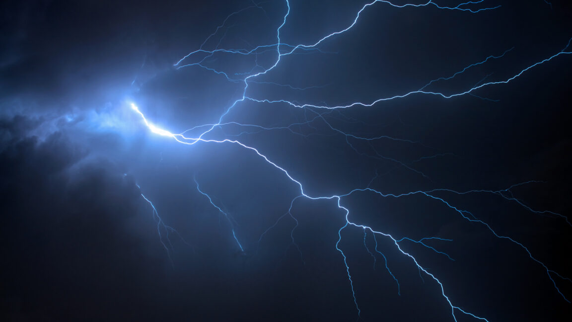
Thunderquakes are generated when lightning creates superheated plasma bubbles, producing acoustic shock waves that enter the Earth’s upper crust. These signals are inherently complex due to the irregular path of lightning and the interference of expanding shock waves. The Penn State team employed a software package called SPECFEM3D Cartesian to model these 3D seismic waves, acknowledging that the model required approximations, such as treating the atmosphere as a homogeneous layer, to handle the real-world data effectively.
The analysis identified four "weak zones" within the local karst formation, where seismic signals slowed down as they interacted with less rigid materials. These zones may contain sediments, fractured rock, or areas with high water content. The Penn State campus sits on a karst formation where water has altered limestone bedrock, creating potential vulnerabilities in the ground structure.
To validate their findings, the researchers employed a combination of independent verification methods. These included radar to measure surface deformation, engineering surveys, boreholes drilled at the identified sites, and additional seismic data. The convergence of these results confirmed that the four weak zones identified by the thunderquake model corresponded to actual geological anomalies.
The findings, published in Science Advances in 2026, suggest that thunderquakes are particularly useful for mapping near-surface geological features. Given that most human infrastructure is located close to the surface, this method could provide valuable insights for engineering and urban planning. The relative frequency of thunderstorms in many regions makes this a practical tool for ongoing subsurface monitoring without the need for costly artificial sources.