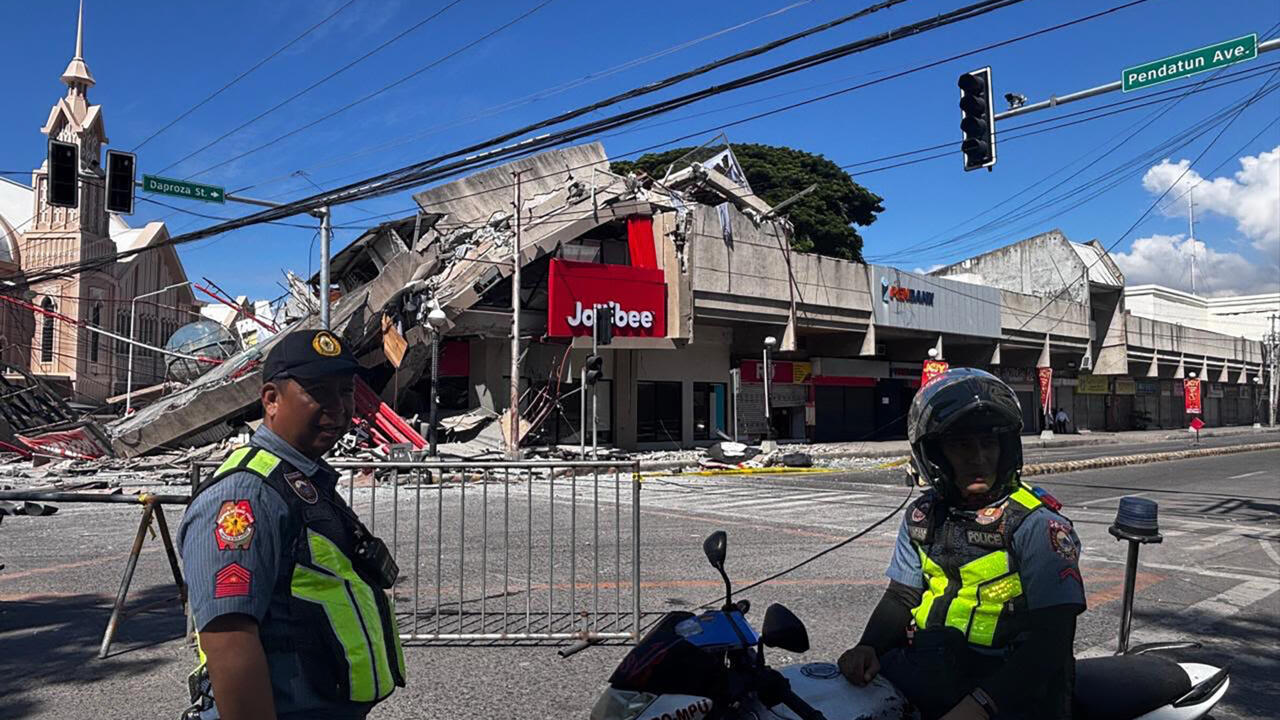
Satellite evidence details scale of regional damage from US-Israel operations
Al Jazeera’s Open Source Unit reveals structural damage to Iranian nuclear and oil infrastructure, Lebanese urban centres, and US coalition bases following 100 days of conflict.
Satellite imagery compiled by Al Jazeera’s Open Source Unit has documented extensive structural damage across 15 sites in Iran, Lebanon, and the Gulf region, following 100 days of US-Israeli military operations that commenced in June 2025. The analysis, conducted before satellite operators imposed access restrictions at Washington’s request, provides a visual record of the conflict’s impact on nuclear facilities, oil infrastructure, naval bases, and coalition military installations.
The imagery confirms severe damage to Iran’s Natanz nuclear complex in Isfahan province, which was struck twice in June 2025 by Israeli and US forces using GBU-57 bunker buster bombs. Before-and-after images taken in early March show direct structural damage to buildings, ramps, and entrance pathways leading to underground enrichment halls. Similar strikes were observed at the Fordow facility and other sites in Isfahan.
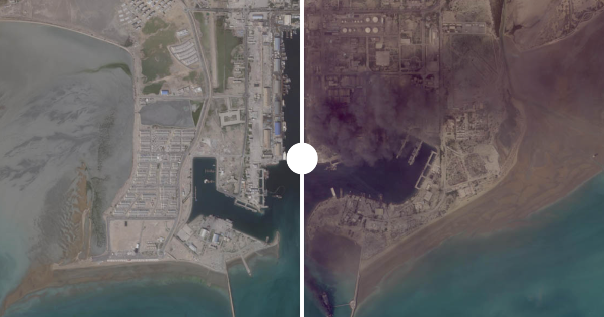
Iran’s energy infrastructure also sustained significant hits. Satellite imagery from Sentinel-2 captured on April 15, 2026, shows a large fire at Siri Island, with analysis indicating a direct hit to a storage tank with a one-million-barrel capacity. Damage was also recorded at the main Kharg Island oil terminal. In Bandar Abbas, imagery captured between February and April 2026 reveals extensive destruction across 11 locations within the port complex, including damage to key warehouses and a docked vessel.
Military installations belonging to the Islamic Republic of Iran’s Aerospace Force and Navy were also targeted. High-resolution imagery from April 10, 2026, shows collapsed roofs and burn marks at Fath Air Base near Tehran, a hub for IRGC helicopter and drone units. At the Bandar Abbas Naval Base, analysis of March 2 imagery detected a direct hit on the IRIS Makran, which displayed visible fires and smoke, alongside damage to key base facilities.
The conflict’s impact extended to Lebanon, where imagery confirms the destruction of over 100 buildings in Naqoura and severe damage to approximately 725 structures in Bint Jbeil. Entire residential neighbourhoods were levelled in Rachaf, while historic civil and religious sites, including St Joseph Church, suffered heavy damage in Kozah and Beit Lif. Analysts attribute this destruction to intense Israeli ground operations and air attacks.
US and coalition military installations in the Gulf region also sustained damage, resulting from both direct strikes and intercepted Iranian missile attacks. Al Udeid Air Base in Qatar showed structural impact across three locations, including a destroyed logistics building. Kuwait’s Ali Al Salem Air Base suffered damage to tent areas and logistics facilities from falling debris caused by intercepted ballistic missiles.
Further damage was recorded at al-Dhafra Air Base in the UAE, where direct hits struck main aircraft hangars, and at Saudi Arabia’s Prince Sultan Air Base, where Iranian missile and drone attacks caused charring on the tarmac and damage to a runway. The US Fifth Fleet Headquarters in Bahrain also sustained extensive structural damage, including hits to multiple radar domes, following Iranian strikes.
Satellite operators, including Planet Labs, Airbus, Sentinel, and Vantor, had captured this data before imposing an indefinite blackout on pictures of the conflict at Washington’s request. The compilation of these images offers a comprehensive view of the devastation across the region, covering sites from the Strait of Hormuz to the Lebanese border.