Glacial collapse identified as likely trigger for Nepal-Tibet floods
Preliminary findings from the US Geological Survey and ICIMOD suggest tectonic uplift and climate change destabilised the Himalayan ice, causing a catastrophic surge that killed at least 177 people.
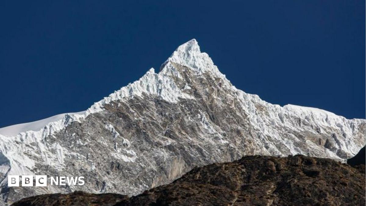
Scientists have identified a collapsed glacier near the Langtang Lirung peak as the probable cause of the flash floods on the Nepal-Tibet border, a disaster that has claimed at least 177 lives. Initial reports suggested an earthquake-induced landslide, but the US Geological Survey (USGS) subsequently clarified that the event was a "glacial collapse," a process in which a glacier or part of a glacier disintegrates. The impact of the collapse was significant enough to register a magnitude of 5.2, according to USGS data.
The International Centre for Integrated Mountain Development (ICIMOD), an intergovernmental scientific institution, analysed the event and found that an ice-rock avalanche originating from a high-altitude area entered the Lende Khola, a tributary of the Bhote Koshi river. This influx of debris generated a sudden surge that carried water, sediment, and large boulders downstream. Water levels in downstream rivers rose between seven and nine metres within 30 minutes, a rapid increase that overwhelmed local infrastructure and washed away several water monitoring stations.
Dr Simon Cook, a glacier expert at the University of Dundee, stated that his team detected the lower part of a glacier, located approximately 15km west of the flood site, had collapsed. The glacier moved in a northwesterly direction before travelling westwards downstream. Professor Mike Searle of Oxford University noted that the topography of the region likely exacerbated the severity of the flood. He pointed out that the incredibly steep valleys on both sides of Langtang Lirung would have funnelled the water at higher speeds, increasing the destructive force of the surge.
Experts suggest the entire process from the initial collapse to the final flood may have taken hours or even days. Professor Searle proposed that a landslide may have first dammed the river, allowing water to build up before bursting in a single massive flood. While such events are not uncommon in the Himalayas, the scale of this disaster is considered unusual, with the entire glacier appearing to collapse in one go rather than in smaller, manageable chunks.
The underlying causes of the collapse are attributed to a combination of long-term tectonic uplift and climate change. The Himalayas are slowly rising as tectonic plates push against one another, causing glaciers to become steeper and more prone to failure. Simultaneously, rising temperatures are accelerating the melting of Himalayan ice and destabilising high mountain environments. ICIMOD reported earlier this year that glaciers in the Hindu Kush Himalaya region are losing ice at double the rate compared to 2000.
This event follows a pattern of similar incidents in recent years, including a glacier collapse in Chamoli, India, in 2021 that killed 200 people, and flooding in the same Nepal region last year caused by a bursting glacial lake in Tibet. ICIMOD specialist Mohd Farooq Azam noted that the increasing frequency of hazards in the cryosphere is becoming more visible, with the pace of change occurring rapidly. Dr Cook emphasised that while it is difficult to attribute a single event solely to climate change, the pattern of shrinking glaciers and thawing permafrost suggests a growing impact on the stability of these mountain environments.