Equal Earth map wins UN support but exposes disputes over contested borders
The UN General Assembly has encouraged adoption of a map that better reflects continental size, but India, Ukraine and Japan have objected to its treatment of disputed territories.
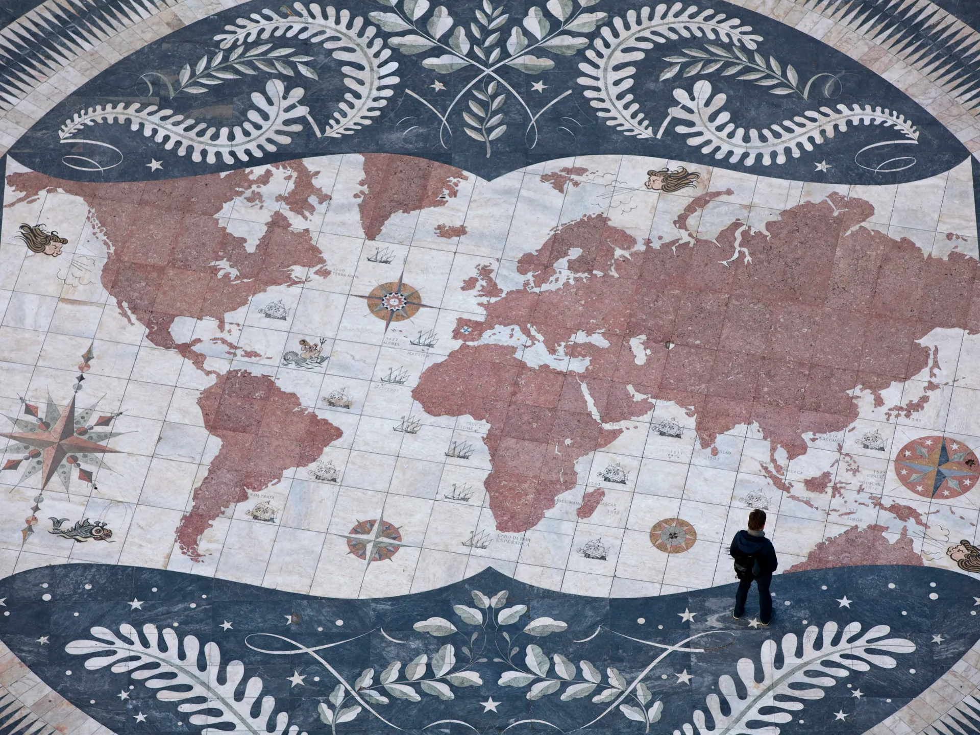
The United Nations General Assembly has overwhelmingly encouraged countries to adopt the Equal Earth projection, a flat-world map designed to represent the relative size of continents more accurately than the widely used Mercator projection.
The resolution does not require countries to replace Mercator or mandate a particular map. It follows months of lobbying by African countries, which have criticised Mercator for making Africa and other regions near the equator appear smaller while enlarging areas closer to the poles.
The vote passed with 164 countries in favour, six abstentions and the United States opposed. The Equal Earth projection was created by three researchers in 2018, although cartographers acknowledge that no flat map can depict a spherical Earth without some distortion.
Ukraine abstained, saying Crimea is shaded closer to Russia than to mainland Ukraine. Crimea has been under Russian occupation since 2014, and Kyiv said it had sought corrections before the vote but had not received a positive response.
Japan supported the resolution but raised concerns about the disputed Kuril Islands, which remain under Russian administration but are claimed by Japan. Tokyo said the map uses colours associated with Russia for the islands and that this could create incorrect perceptions of Japan’s territorial position.
India also voted in favour but said Jammu and Kashmir and Ladakh must be shown according to India’s official map. Kashmir is divided among administrations by India, Pakistan and China, and remains disputed. The countries’ objections have focused on territorial depictions rather than the Equal Earth projection itself.