Drone Footage Captures Drought Impact on English Farmland After Record-Breaking July
New aerial imagery underscores the severity of recent weather conditions across England, as the country contends with its most arid summer month in recorded history.
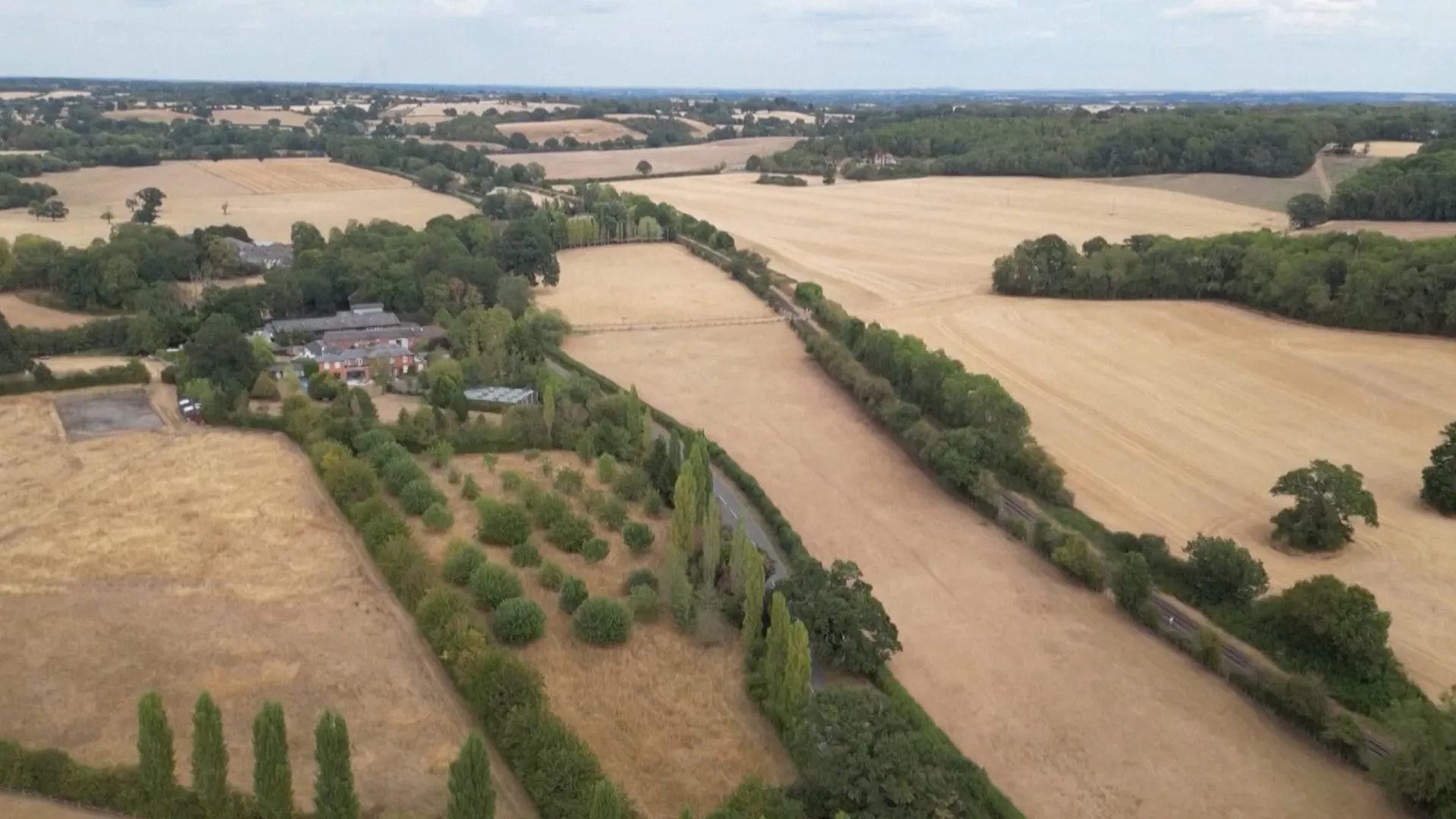
Drone footage has been released showing extensive drought-affected agricultural fields across England, providing visual confirmation of the severe dry conditions that have gripped the region. The imagery, which was published by Al Jazeera Global News, captures the stark reality of the landscape following a period of unprecedented lack of rainfall.
The release of the video comes in the wake of official confirmations that July was the driest on record for the country. This historical weather event has set the stage for the current environmental challenges facing the agricultural sector, with the new footage serving as immediate evidence of the impact on farmland.
The drone video offers a high-level overview of the affected areas, revealing parched earth and struggling crops. While specific geographic locations within England are not detailed in the initial reports, the visual data clearly illustrates the widespread nature of the drought’s impact on the nation’s agricultural output.
This development follows the conclusion of July 2026, which has now been cemented in meteorological records as the most arid month ever recorded in England. The transition from record-breaking weather data to visible ground-level consequences marks a significant moment in the country’s ongoing weather narrative.
As the agricultural sector assesses the damage, the release of this footage provides a tangible metric for the severity of the drought. The images underscore the immediate link between the record-breaking meteorological data and the physical state of the land, highlighting the pressures facing farmers in the wake of the dry summer.