Developing El Niño sets daily Pacific temperature record ahead of expected peak
Scientists say sea-surface temperatures in a key central-eastern Pacific region reached 3.05°C above average on 19 September, while weather effects are being reported across several regions.
The developing El Niño has set a record for daily sea-surface temperatures in a key central-eastern Pacific region, according to scientists monitoring the climate pattern ahead of its expected peak later in 2026.
Temperatures reached 3.05°C above average on 19 September, exceeding the previous daily record of 3.02°C recorded during the strong 2015 El Niño. The Met Office said the event had already exceeded previous records several weeks before its expected peak.
The record applies to daily sea-surface temperature measurements. A separate measure, the Relative Oceanic Niño Index, which accounts for background ocean warming, has not yet reached a record level.
The Met Office said the event was already associated with expected weather effects, although scientists were still assessing whether impacts would be proportional to its measured strength. El Niño can increase the risk of drought and wildfires in some regions, while raising the risk of storms and floods in others.
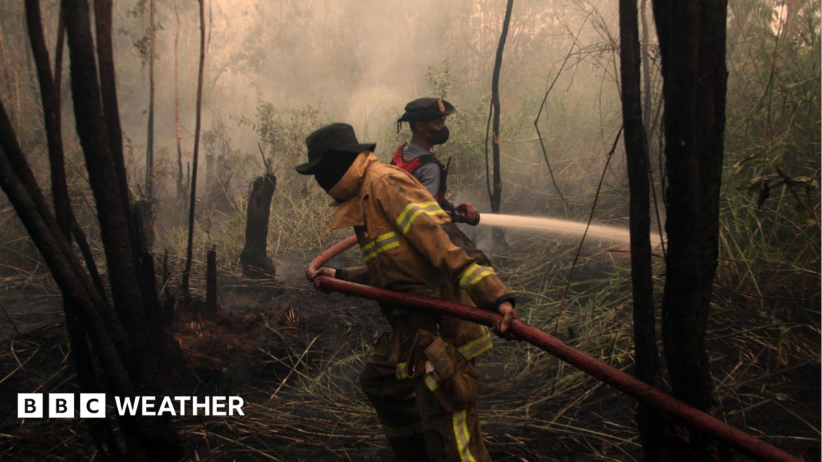
Indonesia’s health ministry said wildfires linked to El Niño were affecting about 12.5 million people. India’s southwest monsoon rainfall was 15% below normal by 22 September, according to the India Meteorological Department.
No Atlantic hurricanes had formed by that point in 2026, described as the latest such date since satellite monitoring began. Scientists cautioned that El Niño events vary and that the reported weather impacts could not be attributed solely to the climate pattern.