UN backs call for maps that show Africa’s relative size more accurately
African states sponsored a resolution supporting a shift away from the 16th-century Mercator projection, without selecting a single replacement map.
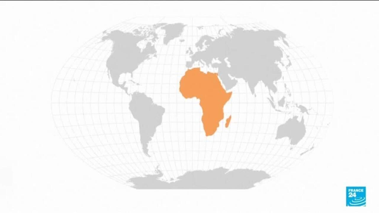
The United Nations has voted to support a shift away from the 16th-century Mercator map projection towards maps that represent countries’ relative size more accurately.
African states sponsored the resolution, saying the change would help counter perceptions that Africa is a peripheral continent.
The Mercator projection makes regions closer to the poles appear disproportionately large compared with Africa. Its continued prominence has made the map a focus of debate over how geography shapes perceptions of global importance.
The resolution supports a broader move towards more accurate representations of relative area, but it does not establish that the UN has adopted one replacement map worldwide.
The material reported by France 24 does not identify an alternative projection or provide vote totals, including the numbers for, against or abstaining.
All map projections involve some distortion. In this context, references to Africa’s “true size” describe an effort to present the continent’s relative area more accurately.