Sentinel-6 satellites track ocean changes linked to hurricanes during El Niño
NASA and European partners are using two satellites to measure sea level, ocean heat and atmospheric conditions, with the data intended to strengthen hurricane-intensity forecasts.
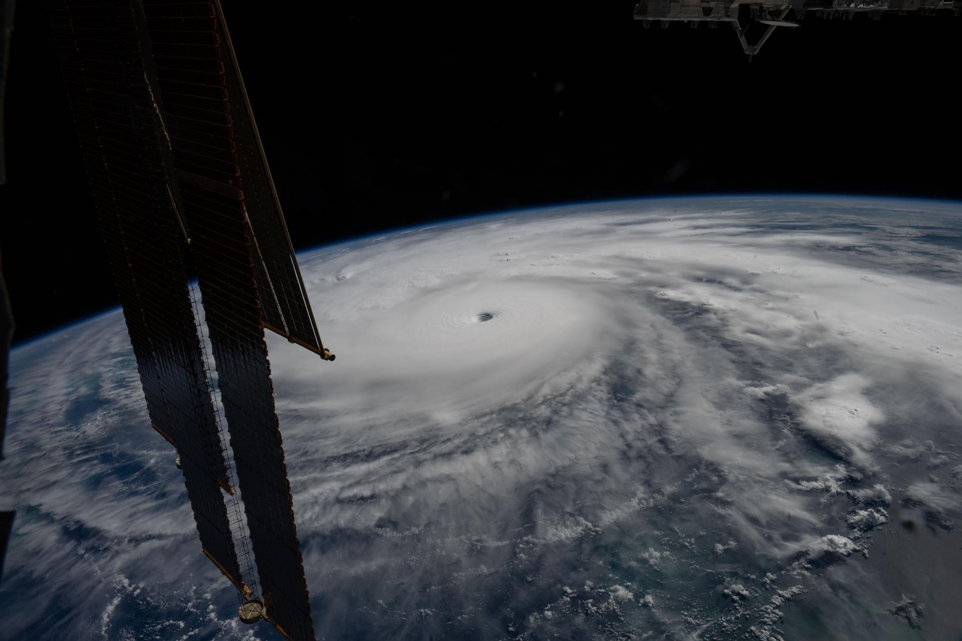
NASA and its European partners are using the Sentinel-6B and Sentinel-6 Michael Freilich satellites to study ocean and atmospheric conditions during El Niño, a climate pattern in which unusually warm Pacific waters shift rainfall and storm activity.
Flying about 30 seconds apart, the satellites are measuring sea level, wave height and marine wind speed with radar altimeters. Their GNSS-RO instruments are also collecting information about atmospheric humidity, pressure and temperature.
Sea-level measurements can provide an indication of ocean heat because warm water expands. That information is relevant to forecasting how quickly hurricanes may intensify, while El Niño can also shift tropical cyclone activity between the Atlantic and Pacific.
Sentinel-6B began delivering low-latency data for potential use in weather prediction on 15 July. The observations will still need to be incorporated into research and forecasting models; the source does not quantify any demonstrated improvement in forecasts.
NOAA plans to incorporate Sentinel-6 ocean-height data into its Satellite Ocean Heat Content Suite algorithm by the end of the year. The data is intended to support hurricane forecasting and disaster preparedness, including decisions about evacuations and the mobilisation of emergency resources.
Sentinel-6B launched last November as part of the Copernicus Sentinel-6/Jason-CS mission, which continues a precise record of sea-level observations dating to the TOPEX/Poseidon mission in 1992. Sentinel-6B is expected to become the reference satellite for global sea-level measurements later this year.