Satellite monitoring reveals scale of tourism damage in Lofoten Islands
Norwegian researchers are deploying artificial intelligence and satellite imagery to map vegetation damage in the Arctic archipelago, addressing management challenges posed by rising visitor numbers and fragile ecosystems.
Norwegian researchers have initiated the SALT Trail 2.0 project to monitor the environmental consequences of increasing tourism in the Lofoten Islands. Funded by the European Space Agency and led by Elina Hutton, a tourism researcher at the firm SALT, the initiative utilises satellite imagery and artificial intelligence to detect vegetation damage and the emergence of informal trails. The project addresses significant management challenges in the region’s fragile Arctic ecosystem, where trail recovery is markedly slower than in southern Scandinavia due to short growth seasons and compounding climate change impacts.
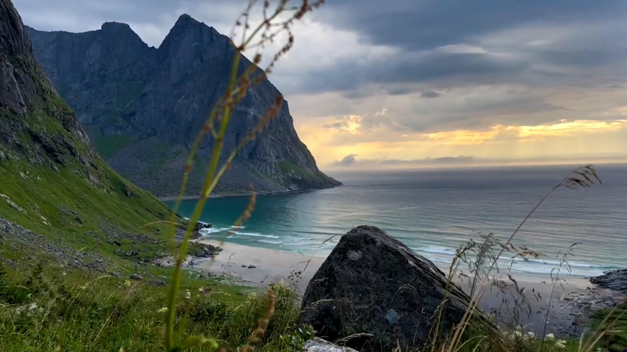
Located north of the Arctic Circle, the Lofoten Islands attract more than one million tourists annually, with visitor numbers continuing to rise. The boom in tourism has intensified concerns regarding environmental degradation in a country governed by the “right to roam” law, which permits public access to hike or camp anywhere. Hutton noted that this concept, heavily marketed by the tourism industry, makes managing natural sites difficult without physical counters, necessitating alternative monitoring tools.
The initiative evolved after researchers observed new trails appearing on OpenStreetMap, which are automatically generated using satellite imagery. This discovery confirmed that tourism impact is visible from space. Previous methods for understanding visitation, such as analysing data from the sports application Strava, were deemed insufficient for measuring actual environmental impact. The new approach uses satellite filters to measure vegetation health based on light reflection, revealing damage and informal paths that traditional methods miss.
The project is now scaling up from initial tests on individual Scandinavian trails to analyse the entire Lofoten region using machine learning. Hutton explained that Arctic vegetation is adapted to slow growth and cold environments, with a recovery window of approximately 100 days per year. Damage can persist for months or decades; for instance, a trail formed by 25 people walking in a line may remain visible for about 12 months.
Climate change is further exacerbating stress on Arctic flora. Hutton stated that plants accustomed to cold environments cannot tolerate increased heat, despite warmer temperatures potentially extending the growing season. The project aims to provide documented evidence to decision-makers to secure funding for preventive action and restoration in the hardest-hit areas, ensuring that ecological risks are formally recognised in policy discussions.