NASA Unveils Six New Suborbital Earth Science Campaigns for Summer Flights
The US space agency is deploying hundreds of scientists and pilots across six new Earth Venture missions, utilising aircraft to bridge the gap between ground sensors and satellite data.
NASA is preparing six new suborbital Earth Venture missions to commence science flights this summer, mobilising hundreds of scientists and pilots from the space agency, the US Navy, universities, and other institutions. The campaigns will utilise airborne sensors to study wildfire-generated storms, agricultural emissions, urban air quality, Arctic glacier retreat, Arctic ecosystem changes, and landslide hazards.
The first project to take wing is the Injected Smoke and PYRocumulonimbus Experiment (INSPYRE), led by the Naval Research Laboratory. From mission headquarters in Colorado, the team will investigate towering “fire clouds” generated when extreme wildfires burn hot enough to brew their own thunderstorms. NASA’s high-altitude ER-2 aircraft, flying out of Montana, will carry a large suite of instruments over these storm systems, including two state-of-the-art infrared wildfire trackers developed at NASA’s Jet Propulsion Laboratory (JPL) in Southern California.
Agricultural emissions represent another key focus, with the FarmFlux mission deploying more than a dozen sensors to measure pollutants rising from agricultural lands and animal farms. Stretching from the Midwest to California’s Central Valley, the mission is led by NASA’s Goddard Space Flight Center in Greenbelt, Maryland, alongside Colorado State University and Boston University. The sensors will measure ozone, methane, ammonia, particulates, and other pollutants that affect human health, global climate, and stratospheric ozone.
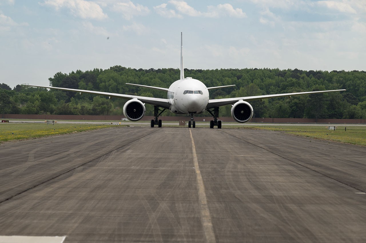
Urban air quality will be examined through the Hemispheric Airborne Measurements of Air Quality (HAMAQ) mission, which targets Atlanta and Mexico City. Led by NASA’s Langley Research Center in Hampton, Virginia, the project will deploy two aircraft at different altitudes to explore how weather and terrain influence pollution. NASA’s P-3B will fly close to the surface to directly measure fine particle and gaseous pollutants, while a recently acquired 777 science jet will soar high above to map pollution with remote sensors.
In the Arctic, the Snow4Flow campaign, led by the University of Arizona, seeks to measure and model glacier retreat across Alaska, the Yukon, Arctic Canada, Greenland, and Svalbard, Norway. The team will fly over remote icescapes in a modernised WWII-era aircraft outfitted with a scanning laser altimeter and two custom radars. These observations, combined with satellite data, aim to advance understanding of how glaciers behave in different regions and the processes driving future changes.
The Frontlines of Rapidly Transforming Ecosystems (FORTE) mission, led by NASA Goddard and the City College of New York, will study how rivers, lagoons, and estuaries across Alaska’s North Slope interact with the Arctic Ocean. The multidisciplinary team will combine optical and radar measurements from satellites, planes, research vessels, drones, and underwater autonomous systems to track microscopic marine life, water flow, and chemistry.
Finally, the Landslide Change Characterization Experiment (LACCE), led by NASA JPL, will track how slopes in California and Alaska respond to intensifying droughts and downpours. The project combines airborne synthetic aperture radar with land-based sensors to understand water infiltration and destabilisation, with a specific focus on emerging hazards in Alaska where retreating glaciers are accelerating slope movements.