NASA tests airspace prioritisation tools for first responder drones in North Texas
Researchers from NASA Ames, alongside the FAA and Texas public safety agencies, have conducted a trial to establish safe traffic management frameworks for future drone operations.
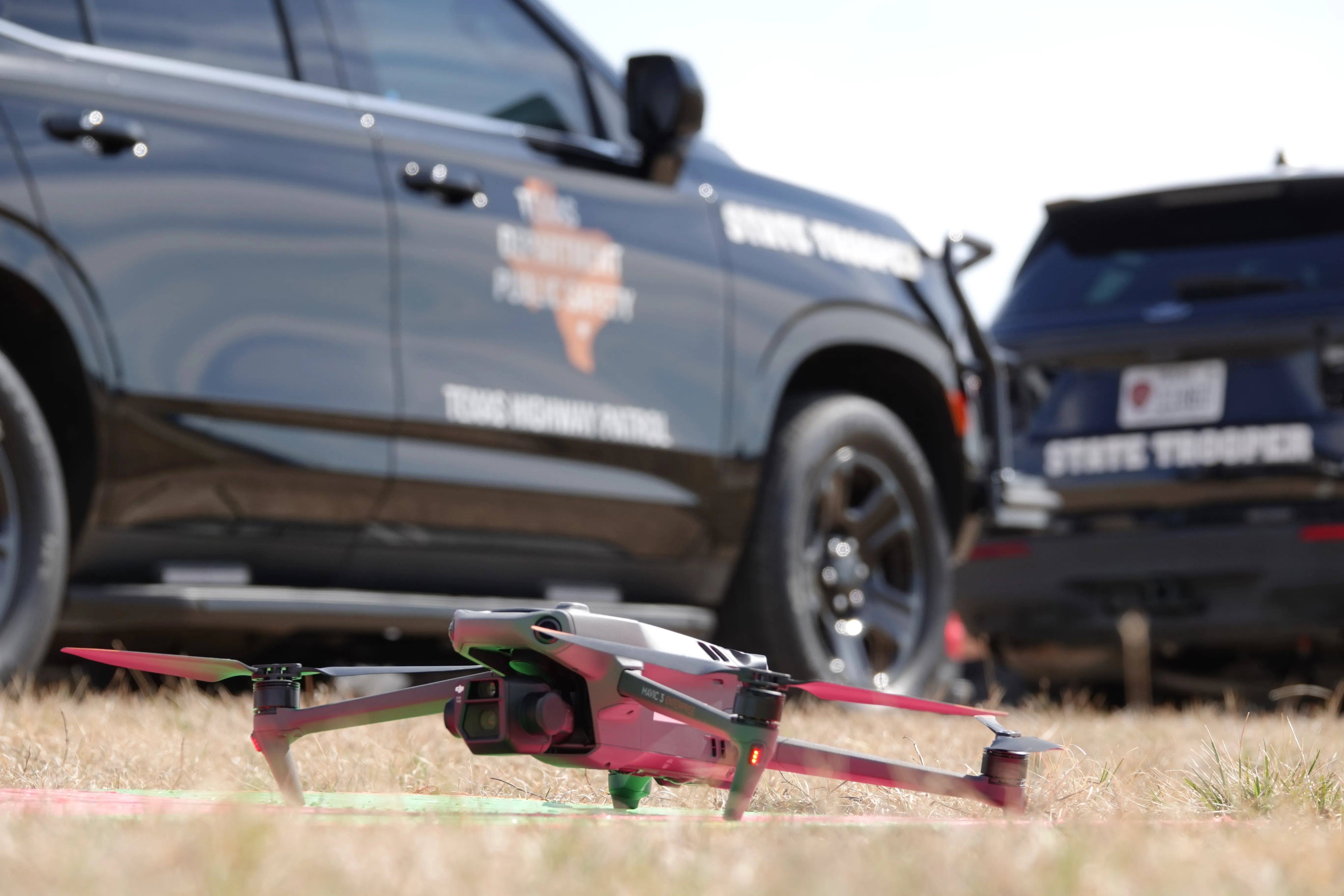
Researchers from NASA Ames, working in collaboration with the Federal Aviation Administration and Texas public safety agencies, have conducted a flight exercise in North Texas to test airspace prioritisation tools designed for emergency drones. The demonstration took place in the Fort Worth metroplex, an FAA-designated region that currently permits daily commercial drone deliveries, making it an ideal location to assess the integration of commercial and public safety operations.
During the exercise, the trial showed how commercial drones could automatically move aside to allow police, fire, and rescue drones to access priority airspace during simulated emergencies. This system mirrors the way drivers on the ground clear the path for emergency vehicles with lights and sirens, ensuring that first responder drones receive the same clearance in the air as they do on the ground. The key objective was to prioritise the safety of flight operations while balancing the efficient use of airspace for all operators.
The trial also examined how unpredictable emergency flight paths affect nearby commercial drone activity. Researchers simulated erratic movements, such as a drone following an officer driving an SUV erratically to mimic a vehicle chase, to test how these sudden direction changes impact surrounding airspace. Public safety drone missions differ significantly from commercial flights as they rarely follow predictable routes and may require sudden direction changes during searches, pursuits, or dangerous environment scans.
Participants involved in the demonstration included the drone airspace management companies Drone Sense, Avision, and ANRA Technologies, as well as the FAA, the Texas Department of Public Safety, and police departments from the Texas cities of Fort Worth, Arlington, and Irving. When multiple public safety organisations responded to simulated emergencies, their officials communicated to prioritise access for the right drones, ensuring that the most critical missions received immediate clearance.
The result demonstrated NASA's development of air traffic systems and tools to prioritise public safety operators as commercial drone usage increases. By working closely with industry and federal partners, the project aims to build the data, tools, and traffic management frameworks needed to ensure the future of drone operations is safe, responsible, and scalable for everyone.
While the exercise was a simulation, the findings contribute to the broader Air Traffic Management and Safety project at NASA Ames. The ongoing collaboration seeks to create safe and scalable traffic management frameworks that can handle the complexities of future drone operations without compromising the safety of existing air traffic.


