NASA report finds Polar Geospatial Center elevation data meets horizontal standards but lacks vertical precision
NASA’s Commercial Satellite Data Acquisition program has released an evaluation of the Polar Geospatial Center’s EarthDEM digital surface models, confirming excellent horizontal accuracy but noting that vertical measurements exceed specified error margins.
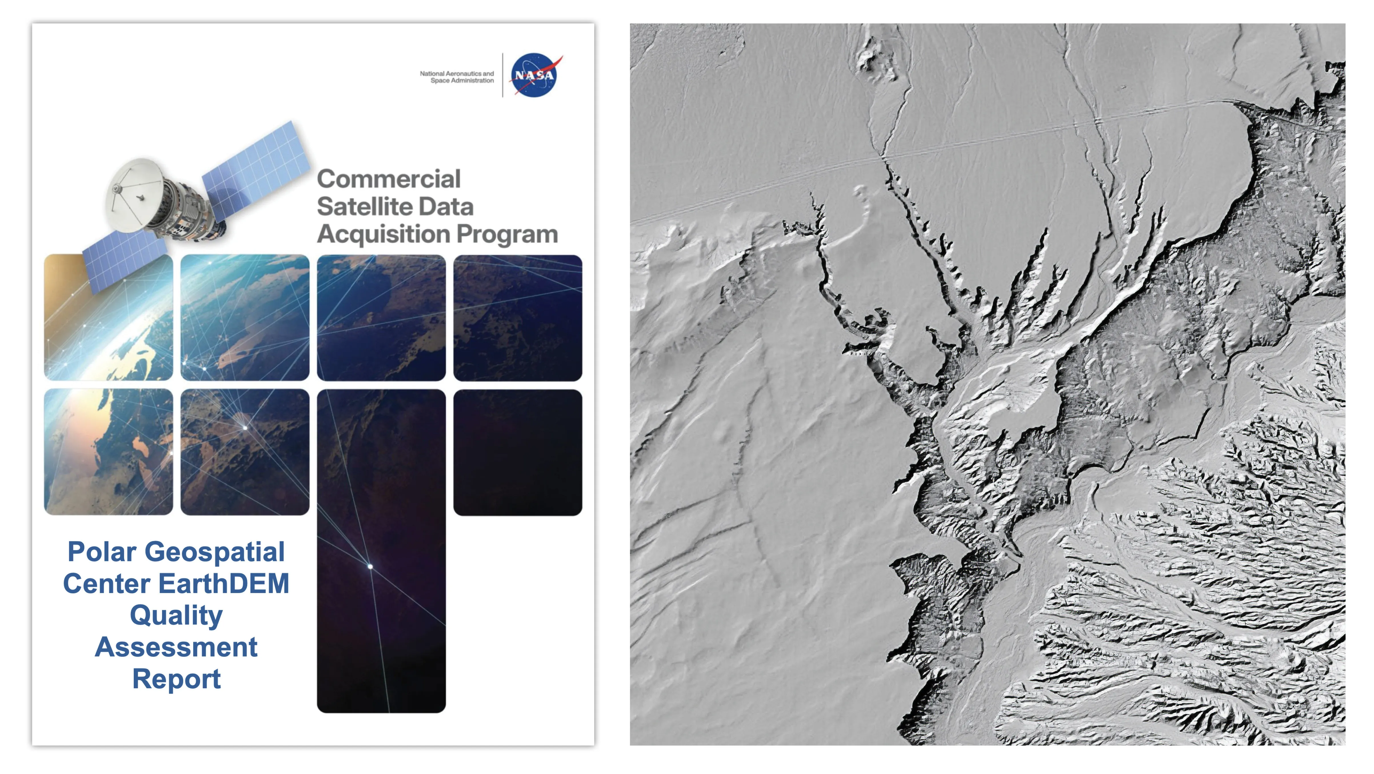
NASA’s Commercial Satellite Data Acquisition (CSDA) program has issued a quality assessment report evaluating the Polar Geospatial Center’s EarthDEM elevation products. Released on 8 August 2026, the document provides an analysis of the data’s suitability for NASA Earth science research, focusing on the horizontal and vertical accuracy of the centre’s “Mosaic Tile” and “Strip” Digital Surface Models.
The assessment was conducted by NASA Digital Elevation Model subject matter experts who compared the EarthDEM products against airborne lidar data samples collected from across the United States and Senegal. The evaluation aimed to determine how well the satellite-derived data aligned with established specifications for use in scientific applications.
The report graded the horizontal accuracy of both the Strip and Mosaic Tile models as “Excellent,” noting that they met the specifications provided by the Polar Geospatial Center. The Strip Digital Surface Model achieved a 0.5-meter Root Mean Square Error Horizontal, while the Mosaic Tile model performed even better with a 0.3-meter Root Mean Square Error Horizontal.
In contrast, the vertical accuracy of the products was graded as “Basic.” The assessment found that vertical error margins varied depending on land cover types and consistently exceeded the Polar Geospatial Center’s specification of 0.5 meters. The Strip model recorded a 5.6-meter Root Mean Square Error Vertical, and the Mosaic Tile model recorded a 4.9-meter Root Mean Square Error Vertical.
Vertical accuracy for the Strip model ranged from 4.6 to 6.8 meters, a variation linked to cloud cover metadata generated by the data provider. The report noted that while the data is suitable for research, users must ensure that these vertical accuracy characteristics, along with potential issues such as poor cloud masking or data voids, align with their specific scientific objectives.
The evaluation also reviewed the documentation surrounding the EarthDEM product, including the product User Guide, peer-reviewed publications from The Ohio State University’s Byrd Polar and Climate Research Center, and the Polar Geospatial Center’s GitHub repository. The authors concluded that the product is “well documented” across these sources.
A footnote in the report clarifies that the EarthDEM product is not technically a commercial product, despite being evaluated under the CSDA framework. The dataset is derived from imagery collected from the Vantor fleet of optical satellites, formerly known as Maxar. The CSDA program continues to identify and evaluate data from commercial sources to support NASA’s Earth science research goals.