NASA Landsat Satellites Expand Nighttime Imaging to Monitor Volcanoes and Wildfires
Landsat 8 and Landsat 9 now utilise ascending orbital paths to capture thermal data for volcanoes, ice sheets, and urban heat islands
For more than five decades, the Landsat programme has primarily captured images of Earth's land and near-shore surfaces during midmorning orbits when sunlight is optimal. However, NASA's Landsat 8 and Landsat 9 satellites are increasingly utilising their ascending orbital paths to peer into the darkness, transforming how scientists monitor active volcanoes, wildfires, urban heat islands, and polar ice sheets.
While visible spectral bands are typically not useful during the ascending orbit node, the satellites' thermal infrared and shortwave infrared instruments can detect intense heat sources even when the sun is at or below the horizon. This capability allows researchers to track thermal features, detect gas flares, and assess environmental changes where sunlight is absent, providing a unique perspective on the planet's surface.
Dr Christopher Crawford, the Landsat Project Scientist at the USGS Earth Resources Observation and Science (EROS) Center, notes a noticeable uptick in special requests for this type of data. He describes nighttime imaging as an all-purpose solution for hazards ranging from changing ice environments to wildfires that threaten human safety and wildlife. The Department of Energy's Pacific Northwest National Laboratory has submitted three consecutive seasonal requests for proactive nighttime imaging of wildfires to support on-the-ground decision-making, with results comparable to low-altitude airborne infrared sensing.
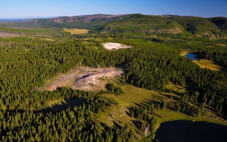
One specific application involves a systematic annual campaign targeting Yellowstone National Park to monitor 10,000 thermal features that change temperature or appearance. In April 2017, researchers reviewing Landsat 8 nighttime data identified a large area of bright, warm pixels that did not match existing maps. Daytime aerial imagery later confirmed this was a new, growing thermal feature characterised by dead trees and altered soil, highlighting the value of night-time acquisition for discovering previously unknown geological activity.
The expansion of capabilities extends to the polar regions through the Landsat Extended Acquisition of the Poles (LEAP) campaign. This initiative now routinely collects imagery over the poles to track ice sheet changes and surface temperatures, overcoming previous limitations caused by a lack of wintertime images. Even with low illumination, the high reflectivity of snow and ice allows scientists to measure polar surface temperatures and examine the interaction between ocean water and ice shelves.
Fortunately, this expanded operational routine does not burden the satellite instruments, which are always on and simply record data when tasked to do so. The darkness of the nighttime orbit helps keep data volumes much lower than daytime observations, allowing sufficient time for the satellites to pass the recorded information to ground stations around the globe. This strategic use of the Landsat archive is expected to provide long-term image data records that are helpful for quantifying changes on Earth's surface in the past, present, and future.


