NASA data powers commercial lunar mission planning tools
New computer models help commercial entities navigate the challenges of in-situ resource utilisation, though the exact location of water ice remains uncertain.
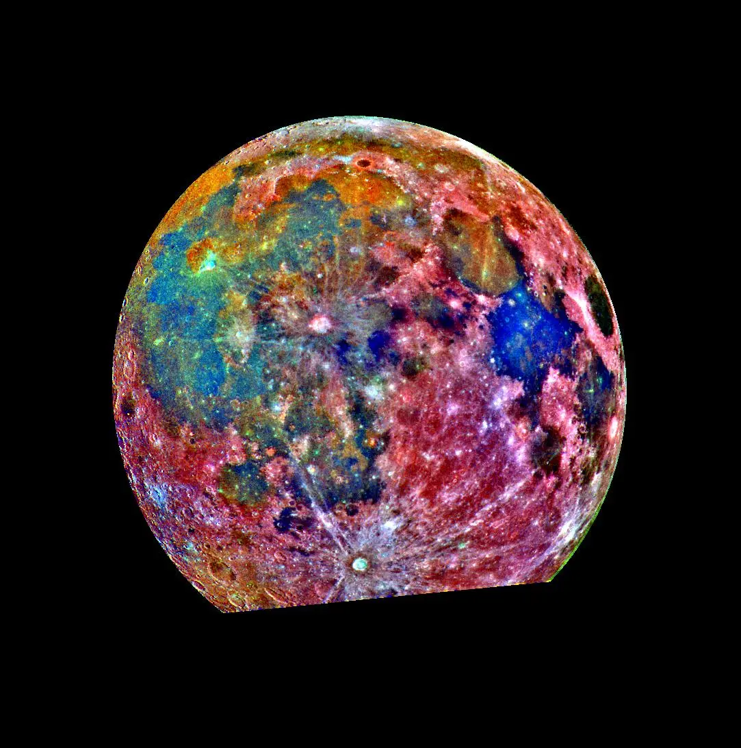
Lunar Station Corp is utilising a wealth of NASA data to assist commercial space entities with lunar mission planning, specifically focusing on the challenges of in-situ resource utilisation. The Cambridge, Massachusetts-based company employs computer models to analyse terrain, locate potential water ice deposits, and assess radiation risks, thereby facilitating infrastructure development on the Moon.
The company combines disparate data from various sensors used by NASA and other space agencies to build detailed environmental profiles. One key resource is the Ames Stereo Pipeline, an open-source tool that processes images from satellites and rovers to create 3D terrain maps. These models reveal critical features such as rock placement and elevation, which are essential for determining landing sites and rover pathways.
To identify indicators for shallow pits of lunar water, Lunar Station uses its proprietary MoonHacker program. This geospatial analytics platform fuses data from NASA’s Planetary Data System to help clients understand environmental factors at specific locations. Blair DeWitt, CEO of Lunar Station, noted that the data helps inform clients about communications relay strategies, particularly for sites in polar regions or on the far side of the Moon where direct Earth visibility is limited.
The availability of in-situ lunar water resources at any specific location remains largely unknown, according to Gerry Sanders, in-situ resource utilisation system capability lead at NASA’s Johnson Space Center in Houston. The presence of water ice was first confirmed in 2009 when the Lunar Crater Observation and Sensing Satellite crashed into the Moon’s South Pole, revealing water in the resulting plume. Lunar Station is building on this historical data to support commercial mining operations.
MoonHacker also features a Radiation Simulator that allows companies to test digital twins of their rovers or satellites. These electronic versions are subjected to radiation conditions en route or at the mission site to determine the necessary protection levels. These innovations align with the purpose of NASA’s Technology Transfer program, which documents how space-based solutions can improve life on Earth.