NASA AI tool maps harmful algal blooms using fused satellite data
Researchers report the tool successfully detects specific algal species in complex coastal waters, aiming to help health agencies target water sampling and issue warnings more efficiently.
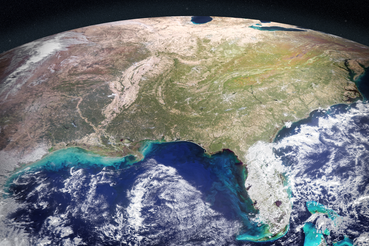
NASA scientists have developed an artificial intelligence tool designed to detect harmful algal blooms by fusing data from multiple satellite missions. The study, published in AGU Earth and Space Science, reports that the system successfully identified blooms in western Florida and Southern California, areas where such events pose significant risks to public health and coastal economies.
Severe blooms can cost coastal economies in the United States tens of millions of dollars annually. In Florida, species such as Karenia brevis have plagued areas including Tampa Bay and Sarasota for decades, killing wildlife and causing respiratory illness in humans. On the West Coast, blooms of Pseudo-nitzschia have recently poisoned marine animals such as dolphins and sea lions.
Current management of these risks relies on manual water sampling, a labour-intensive process that requires hours on a boat and takes a day or more to yield results. The National Oceanic and Atmospheric Administration works with local partners to issue forecasts, but determining where to test before a bloom spreads remains challenging. The new AI tool aims to act as a force multiplier, helping communities focus their efforts more effectively.
The self-supervised machine learning system combines data from five space missions or instruments, including NASA’s Plankton, Aerosol, Cloud, ocean Ecosystem satellite and the TROPOMI instrument. Unlike traditional methods requiring prior labelling, the system recognises patterns and relationships between different data sources without advance instruction. It was trained on satellite data from 2018 and 2019, with field and lab measurements used to add real-world context.
Initial results indicate the tool can correctly identify and map harmful blooms, including specific species like K. brevis, even in complex coastal waters swirling with sediment and runoff. The team, which includes researchers from NASA’s Jet Propulsion Laboratory and the Spatial Informatics Group, is now improving the tool with data from additional coastlines and expanding tests to other water bodies, including lakes.
Michelle Gierach, a scientist at NASA’s Jet Propulsion Laboratory, noted that the tool helps determine where and when to collect water samples as a bloom begins. She emphasised that the technology could drive collaboration between specialists and foster new ways to deliver decision-support products. The team aims to make the system accessible to decision-makers in coming years to better serve end users ranging from aquaculture to tourism.


