Curiosity rover resumes Mount Sharp climb after geological detour
NASA’s Curiosity rover has returned to its planned ascent of Mount Sharp in Gale Crater, having completed a series of detailed rock analyses and atmospheric dust monitoring during Sols 4982 to 4987.
NASA’s Curiosity rover has resumed its primary objective of climbing Mount Sharp in Gale Crater, Mars, following a brief investigation of an erosional surface. The rover’s recent operations, covering Sols 4982 to 4987, focused on gathering detailed geological data before continuing its upward trajectory. As the Martian season transitions into autumn in the crater, temperatures are dropping and the likelihood of dust storms is decreasing, though the team remains vigilant for late-season local and regional dust events.
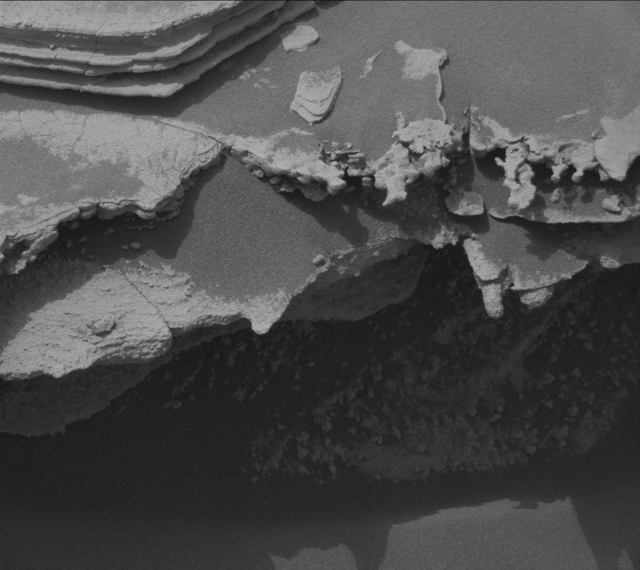
During the first phase of the week, the rover positioned itself near a unique geological feature above the erosional supersurface contact. The MAHLI camera reacquired images for a mosaic of the target “Tres Morros,” providing a detailed view of the feature’s underside. Simultaneously, the Alpha Particle X-ray Spectrometer (APXS) measured the bedrock target “El Motacusal” after it was brushed with the Dust Removal Tool, and recorded a second measurement on the unaltered bedrock target “Alto de Carmen.”
The rover’s laser spectrometer, ChemCam, performed LIBS spectroscopy on bedrock targets “Lagunas Bravas” and “Parququcha,” while also capturing remote micro-images of “Mishe Mokwa.” The Mastcam instrument contributed by capturing near-field mosaics of the erosional ridge “Los Toldos” and the bedrock exposure “Los Ladrillos,” further documenting the geological stratigraphy in the area.
Following these observations, Curiosity drove 30 metres to a new location for the latter part of the operational window. At this site, the rover encountered a minor mechanical constraint; the left-front wheel was perched on a small rock, preventing the robotic arm from being placed in a safe position to use the Dust Removal Tool. Despite this, MAHLI and APXS successfully performed contact science on two new bedrock targets, “Mamorecillo” and “Aguas Claras.”
ChemCam continued its geochemical survey at the new location, targeting a dark-toned resistant layer in the bedrock named “Yura Kasa.” Environmental monitoring was a significant component of the week’s activities, with Mastcam capturing dust-imaging observations to measure the optical depth, or “tau,” of the atmosphere. Higher tau values indicate increased dust levels, a critical metric for mission planning.
The Navigation Camera (Navcam) conducted extensive dust-devil surveys, zenith observations, and suprahorizon cloud movies to monitor atmospheric conditions. APXS also performed an overnight atmospheric measurement to complement these observations.
With the current science objectives met, Curiosity is scheduled to continue its ascent with a planned 47-metre drive. This movement will take the rover southwest of its current position, maintaining its steady progress up the flanks of Mount Sharp.