Curiosity Rover examines Gale Crater geology and atmospheric shifts
NASA’s Curiosity rover has completed a week of geological analysis and atmospheric monitoring in Gale Crater, as detailed in a report by York University atmospheric scientist Alex Innanen.
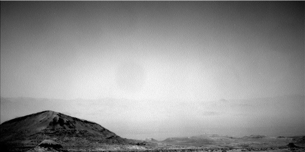
The NASA Curiosity rover has reported on its activities during sols 4947 to 4953 in Gale Crater, according to a blog post authored by Alex Innanen, an atmospheric scientist at York University in Toronto. The Earth planning date for the report was Friday, July 10, 2026. The mission team utilised the week to conduct detailed geological analysis of distinct mapped units while simultaneously monitoring the Martian atmosphere as the planet transitions between seasonal weather patterns.
The rover visited three distinct geological units during the week, performing contact science with the Mars Hand Lens Imager (MAHLI) and the Alpha Particle X-ray Spectrometer (APXS) at each stop. Compositional analyses were also conducted using the ChemCam Laser-Induced Breakdown Spectroscope (LIBS) instrument. These tools allowed the team to examine bedrock layers and erosion features, providing clues about how the terrain was laid down and altered by the environment in the distant past.
Among the various formations studied, two darker rocks stood out due to their colour compared to the surrounding material. Located at the rover’s workspaces on Monday and Wednesday, these rocks were analysed for composition using LIBS to determine their histories. The team noted that the rocks may have been transported from elsewhere or could potentially be meteorites.
Concurrent with the geological work, the rover monitored Gale Crater’s atmosphere as the Mars year moves from summer towards autumn. Innanen described the current period as the last gasp of the dusty season, specifically the “C” storm season, during which mid-size regional dust storms can form. The mission is tracking these conditions as the planet transitions back into the cloudy season.
To observe these atmospheric changes, the rover employed Mastcam and Navcam to image cloud formations and look for signs of dust storms. The Remote Environmental Monitor Suite (REMS) instruments continued to provide daily meteorological records. Additionally, Mastcam and ChemCam conducted medium and longer-distance imaging of buttes and other formations to study the broader context of the area.
Mars is the fourth planet from the Sun and the seventh largest in the solar system. The data collected during sols 4947 to 4953 contributes to the ongoing understanding of the planet’s geological history and current environmental conditions.