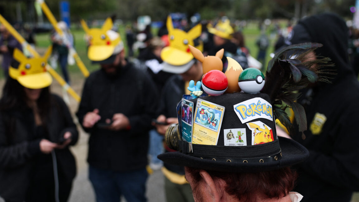
Pokémon Go data linked to military drone navigation sparks ethical debate
Experts and players question the repurposing of crowdsourced game data for military drones, despite assurances that no direct game data is shared with defence partners.
Niantic Spatial, a company spun out from Pokémon Go developer Niantic in May 2025, has utilised billions of images captured by players to train a large geospatial model for visual positioning systems. This technology, designed to navigate in GPS-denied environments, is being integrated with Vantor’s systems for use by delivery robots and potentially military drones. The revelation has sparked ethical concerns among players and experts regarding the repurposing of game data for defence applications, despite claims from Niantic Spatial and Vantor that no direct game data is shared with defence partners.
Niantic Spatial trained its model on 30 billion images, mostly clustered around urban environments, which players were incentivised to visit to capture short videos of public points of interest. The images included metadata showing the location and orientation of user phones, captured under varying lighting and weather conditions. Niantic Spatial announced a partnership with Vantor (formerly Maxar Intelligence) in December 2025 to develop a positioning system for flying drones and ground vehicles.
During the Defence Geospatial Intelligence (DGI) conference in London in February 2026, Tory Smith of Niantic Spatial stated that early testing of the integrated system led to a 70 percent reduction in positioning error, with accuracy within 1.5 meters in many scenarios. A recent story by Dutch publication Trouw highlighted the ethical implications, quoting Jeroen van den Hoven from Delft University of Technology, who noted that players indirectly contributed to military applications.
Floris De Hingh, a Pokémon Go player, expressed discomfort, citing opposition to the war Trump is currently waging against Iran. Vantor and Niantic Spatial both stated that no direct Pokémon Go data is shared with defence partners; Vantor is exploring adapting the visual positioning system to work alongside its existing GPS-denied capabilities. Niantic Spatial confirmed it has no ongoing access to data from current Pokémon Go players, as the game license was sold to Scopely in May 2025.
The visual positioning system allows devices to determine their position by comparing camera data with 3D maps, a capability particularly useful where GPS signals are unreliable or jammed. While such technology has been deployed by the Ukrainian military to counter GPS jamming, critics argue that consent obtained for a game does not equate to consent for weapons programs. Niantic Spatial maintains that the models are the product of training rather than a means of accessing the underlying scans, which were of public points of interest.
Vantor, which holds multiple US government contracts with the National Geospace-Intelligence Agency and various branches of the US military, is exploring how to adapt Niantic Spatial’s ground-based visual positioning system to work alongside its existing satellite imagery capabilities. The company stated it is not using any Pokémon Go data and has no access to information from the Pokémon Go dataset.
Niantic Spatial’s spokesperson emphasised that ground scans were an optional feature in games, with users creating short videos of public locations. The company has been transparent about the fact that scans would improve its technology platform since 2019 in its privacy policy and public announcements. However, the incident serves as a broader lesson regarding how user data generated for entertainment purposes may be repurposed for defence and commercial applications.