Background
Why this event matters
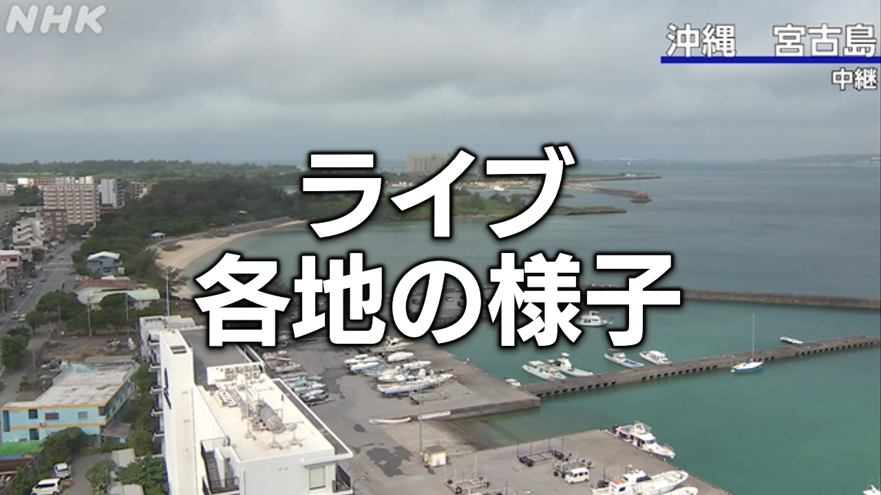
On 8 June 2026, the Japan Meteorological Agency (JMA) issued a tsunami advisory for a vast stretch of the Pacific coast, ranging from Ibaraki Prefecture in the north to Okinawa Prefecture in the south. The advisory, which anticipates wave heights of approximately one metre, applies to several island groups including the Miyako-Yaeyama, Amami Islands-Tokara Islands, Okinawa Main Island, and Daito Islands regions. In response, Kochi City issued evacuation orders for coastal residents, the national government established an information liaison office, and ferry services in Tokyo Bay were suspended. While the cluster summary attributes the advisory to a Magnitude 8.2 earthquake, the source text does not explicitly confirm the seismic magnitude or epicentre, noting only the issuance of the advisory. This event is distinct from a separate weather disaster warning issued on 3 June 2026 regarding linear rainbands in southern Japan.
event-brief
Tsunami Advisory Issued for Pacific Coast of Japan Following Magnitude 8.2 Earthquake
On 8 June 2026, the Japan Meteorological Agency (JMA) issued a tsunami advisory for a vast stretch of the Pacific coast, ranging from Ibaraki Prefecture in the north to Okinawa Prefecture in the south. The advisory, which anticipates wave heights of approximately one metre, appli